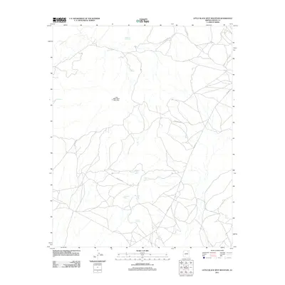
2011 Map of Little Black Spot Mountain
USGS Topo · Published 2011About this map
Little Black Spot Mountain rises above a high-desert landscape defined by vital water sources and a complex network of local routes in the early 21st century. The density of named springs, such as Togoholtsoe Spring, Crooked Finger Spring, and Hastin Akahibito, indicates the essential nature of these water points for livestock and local inhabitants in this arid Navajo County region. The terrain is notably marked by the Cliff Edge in the north and the settlement area of Chilchinbeto to the west. Transportation through this part of the Navajo Nation is facilitated by a web of unpaved and primitive roads, including Indian Rte-4 and Indian Rte-8084, which connect scattered homesteads and traditional grazing lands. This map provides a detailed view of the infrastructure and natural resources critical to the pastoral and community life of the area.
Find a feature on this map
16 named features on this map. Tap any name to fly to it.
Don’t see what you’re looking for? This feature index may not catch every label — zoom into the map to look around manually.
Map Details
Editions of this 2011 Little Black Spot Mountain Map
This is the sole edition of this map. No revisions or reprints were ever made.
Other maps of this area

1883 · Marsh Pass
USGS Topo · 1:250,000

1883 · Tusayan
USGS Topo · 1:250,000

1886 · Tusayan
USGS Topo · 1:250,000

1892 · Marsh Pass
USGS Topo · 1:250,000

1947 · Flagstaff
USGS Topo · 1:250,000

1954 · Flagstaff
USGS Topo · 1:250,000

1956 · Marble Canyon
USGS Topo · 1:250,000

1958 · Flagstaff
USGS Topo · 1:250,000

1959 · Marble Canyon
USGS Topo · 1:250,000

1960 · Flagstaff
USGS Topo · 1:250,000