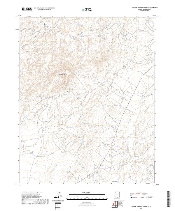
2021 Map of Little Black Spot Mountain
USGS Topo · Published 2021About this map
Little Black Spot Mtn dominates this Navajo County landscape, serving as a high-elevation landmark above a network of springs and valleys. To the south, the terrain descends into the broad Wepo Valley and the northern reaches of First Mesa. Small local settlements such as Chilchinbeto, Hastin Akahibito, and Talah Nascin are connected by a system of rural routes, including Indian Rte 4 and Indian Rte 8064. The distribution of water sources like Ponderosa Pine Spring, Rough Rock Spring, and Crooked Finger Spring highlights the vital importance of dependable water points for grazing and habitation in this high desert environment. These named springs often indicate established gathering points or homesteads in the local landscape.
Find a feature on this map
23 named features on this map. Tap any name to fly to it.
Don’t see what you’re looking for? This feature index may not catch every label — zoom into the map to look around manually.
Map Details
Editions of this 2021 Little Black Spot Mountain Map
This is the sole edition of this map. No revisions or reprints were ever made.
Other maps of this area

1883 · Marsh Pass
USGS Topo · 1:250,000

1883 · Tusayan
USGS Topo · 1:250,000

1886 · Tusayan
USGS Topo · 1:250,000

1892 · Marsh Pass
USGS Topo · 1:250,000

1947 · Flagstaff
USGS Topo · 1:250,000

1954 · Flagstaff
USGS Topo · 1:250,000

1956 · Marble Canyon
USGS Topo · 1:250,000

1958 · Flagstaff
USGS Topo · 1:250,000

1959 · Marble Canyon
USGS Topo · 1:250,000

1960 · Flagstaff
USGS Topo · 1:250,000