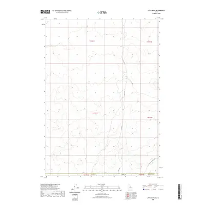
2020 Map of Little Butte NE
USGS Topo · Published 2020About this map
Tractor Flat anchors the southern reaches of this landscape, marking a transition point between the open terrain and the more complex topography of the Snake River Plain. In the modern era, the area remains defined by its sparse transportation network, which provides access to this portion of Idaho's interior. The convergence of W Mud Lake Rd, Sheep Rd, and Twin Butte Sage Junction Rd suggests the continued importance of these routes for ranching or land management near the boundaries of Jefferson, Bingham, and Bonneville counties. This map captures the vastness of the public lands, where the lack of permanent settlements emphasizes the open-range character of the High Desert.
Find a feature on this map
12 named features on this map. Tap any name to fly to it.
Don’t see what you’re looking for? This feature index may not catch every label — zoom into the map to look around manually.
Map Details
Editions of this 2020 Little Butte NE Map
This is the sole edition of this map. No revisions or reprints were ever made.
Other maps of this area

1955 · Idaho Falls
USGS Topo · 1:250,000

1958 · Idaho Falls
USGS Topo · 1:250,000

1964 · Kettle Butte NW
USGS Topo · 1:24,000

1964 · Kettle Butte SW
USGS Topo · 1:24,000

1964 · Terreton
USGS Topo · 1:24,000

1969 · Antelope Butte
USGS Topo · 1:24,000

1969 · Circular Butte
USGS Topo · 1:24,000

1973 · Little Butte NE
USGS Topo · 1:24,000

1973 · Little Butte NW
USGS Topo · 1:24,000

1973 · Little Butte SW
USGS Topo · 1:24,000