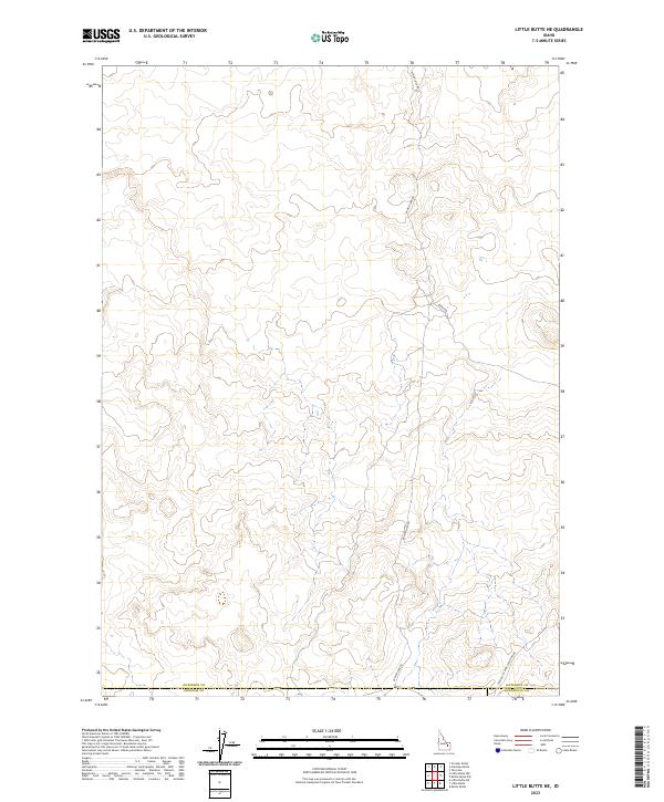
2023 Map of Little Butte NE
USGS Topo · Published 2023About this map
The borderlands of Jefferson and Bingham counties appear here as a vast expanse of open terrain defined by subtle elevation changes and utilitarian transit corridors. This part of Idaho is characterized by the intersection of remote rural routes like W Mud Lake Rd and Sheep Rd, which serve as the primary infrastructure for this high-desert landscape. The transition between t5n r33e and t4n r33e reflects the rigid geometric precision of the Public Land Survey System, a framework that dictates the organization of land in this largely unpopulated region. The south-eastern corner of the map features the Twin Butte Sage Junction Rd near the Bonneville County line, marking a key junction point for travelers moving through the southeastern Idaho lava plains.
Find a feature on this map
11 named features on this map. Tap any name to fly to it.
Don’t see what you’re looking for? This feature index may not catch every label — zoom into the map to look around manually.
Map Details
Editions of this 2023 Little Butte NE Map
This is the sole edition of this map. No revisions or reprints were ever made.
Other maps of this area

1955 · Idaho Falls
USGS Topo · 1:250,000

1958 · Idaho Falls
USGS Topo · 1:250,000

1964 · Kettle Butte NW
USGS Topo · 1:24,000

1964 · Kettle Butte SW
USGS Topo · 1:24,000

1964 · Terreton
USGS Topo · 1:24,000

1969 · Antelope Butte
USGS Topo · 1:24,000

1969 · Circular Butte
USGS Topo · 1:24,000

1973 · Little Butte NE
USGS Topo · 1:24,000

1973 · Little Butte NW
USGS Topo · 1:24,000

1973 · Little Butte SW
USGS Topo · 1:24,000