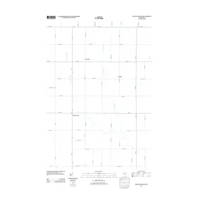
2013 Map of Little Chicago
USGS Topo · Published 2013About this map
Little Chicago sits at a crossroads in northern Marathon County, marking a modest settlement hub within a landscape defined by the drainage of the Rib River system. This 2013 survey documents a predominantly agricultural and rural district where small communities like Naugart and Emmerich are connected by a network of county highways and local lanes. The hydrology of the region is centered on the Little Rib River and the W Fork Little Rib River, which wind through the township alongside smaller tributaries such as Artus Cr and Silver Cr. The road grid, including Wi-107 and Co HWY-A, illustrates the late-20th-century development of this Wisconsin dairy country, preserving the names of local families on routes like Mitchell Ln and Berlin Ln.
Find a feature on this map
40 named features on this map. Tap any name to fly to it.
Don’t see what you’re looking for? This feature index may not catch every label — zoom into the map to look around manually.
Map Details
Editions of this 2013 Little Chicago Map
This is the sole edition of this map. No revisions or reprints were ever made.
Other maps of this area

1899 · Wausau
USGS Topo · 1:125,000

1902 · Wausau
USGS Topo · 1:125,000

1902 · Marathon
USGS Topo · 1:125,000

1951 · Merrill
USGS Topo · 1:48,000

1951 · Hamburg
USGS Topo · 1:48,000

1953 · Wausau
USGS Topo · 1:48,000

1953 · Marathon
USGS Topo · 1:48,000

1954 · Iron Mountain
USGS Topo · 1:250,000

1955 · Green Bay
USGS Topo · 1:250,000

1959 · Iron Mountain
USGS Topo · 1:250,000