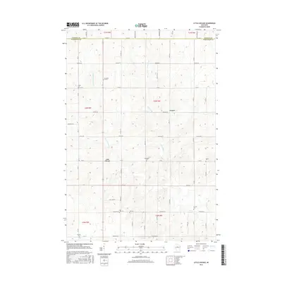
2015 Map of Little Chicago
USGS Topo · Published 2015About this map
Little Chicago and Naugart anchor this central Wisconsin landscape, situated along the border of Lincoln and Marathon counties. The area is defined by the drainage of the Little Rib River and its W Fork, which weave through a network of rural section lines and township boundaries. This 2015 data reflects a deeply rooted community structure, evidenced by the high density of local burial grounds. Genealogists and local historians will find significant detail in the placement of numerous cemeteries, including Saint Johns, Zion, and the uniquely named Rest Haven Pet Cem. Other notable landmarks like Big Hill and Dreieinigkeit Cem illustrate the cultural and denominational heritage of this agricultural region, while waterways like Silver Cr and Artus Cr define the natural topography.
Find a feature on this map
34 named features on this map. Tap any name to fly to it.
Don’t see what you’re looking for? This feature index may not catch every label — zoom into the map to look around manually.
Map Details
Editions of this 2015 Little Chicago Map
This is the sole edition of this map. No revisions or reprints were ever made.
Other maps of this area

1899 · Wausau
USGS Topo · 1:125,000

1902 · Wausau
USGS Topo · 1:125,000

1902 · Marathon
USGS Topo · 1:125,000

1951 · Merrill
USGS Topo · 1:48,000

1951 · Hamburg
USGS Topo · 1:48,000

1953 · Wausau
USGS Topo · 1:48,000

1953 · Marathon
USGS Topo · 1:48,000

1954 · Iron Mountain
USGS Topo · 1:250,000

1955 · Green Bay
USGS Topo · 1:250,000

1959 · Iron Mountain
USGS Topo · 1:250,000