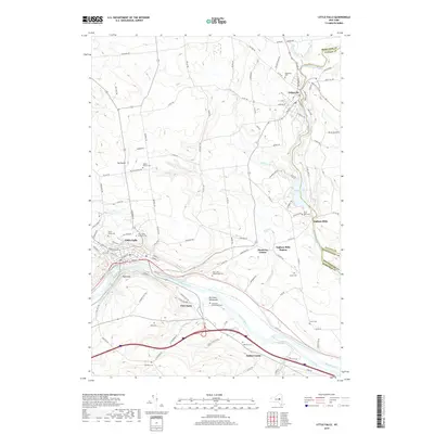
2019 Map of Little Falls
USGS Topo · Published 2019About this map
The Mohawk River and the historic Erie Canal corridor define the southern landscape of this Herkimer County region, where industrial heritage meets the valley floor. In Little Falls, the terrain drops sharply toward the river, a geographic bottleneck that shaped the early transport networks of New York. The map reveals a high density of genealogical sites, from the Saint Marys Cem and Holy Trinity Lutheran Cem in the west to smaller family plots like the Fink - Van Valkenburgh Cem and Walrath Cem further east.
Find a feature on this map
123 named features on this map. Tap any name to fly to it.
Don’t see what you’re looking for? This feature index may not catch every label — zoom into the map to look around manually.
Map Details
Editions of this 2019 Little Falls Map
This is the sole edition of this map. No revisions or reprints were ever made.
Other maps of this area

1898 · Canajoharie
USGS Topo · 1:62,500

1900 · Little Falls
USGS Topo · 1:62,500

1900 · Canajoharie
USGS Topo · 1:62,500

1901 · Lassellsville
USGS Topo · 1:62,500

1902 · Canajoharie
USGS Topo · 1:62,500

1903 · Richfield Springs
USGS Topo · 1:62,500

1903 · Lassellsville
USGS Topo · 1:62,500

1903 · Little Falls
USGS Topo · 1:62,500

1939 · Little Falls
USGS Topo · 1:62,500

1943 · Jordanville
USGS Topo · 1:24,000