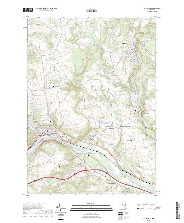
2023 Map of Little Falls
USGS Topo · Published 2023About this map
Little Falls anchors this industrial and riverine landscape, where the Mohawk River and the historic Erie Canal carve through the narrow valley. The map reveals a dense network of transportation and early settlement, tracing the transition from the riverbanks up to the heights of Top Notch. Rural life is marked by numerous family and community burial grounds, such as the Fink-Van Valkenburgh Cem and Walrath Cem, alongside enduring landmarks like the Herkimer Homestead.
Find a feature on this map
133 named features on this map. Tap any name to fly to it.
Don’t see what you’re looking for? This feature index may not catch every label — zoom into the map to look around manually.
Map Details
Editions of this 2023 Little Falls Map
This is the sole edition of this map. No revisions or reprints were ever made.
Other maps of this area

1898 · Canajoharie
USGS Topo · 1:62,500

1900 · Little Falls
USGS Topo · 1:62,500

1900 · Canajoharie
USGS Topo · 1:62,500

1901 · Lassellsville
USGS Topo · 1:62,500

1902 · Canajoharie
USGS Topo · 1:62,500

1903 · Richfield Springs
USGS Topo · 1:62,500

1903 · Lassellsville
USGS Topo · 1:62,500

1903 · Little Falls
USGS Topo · 1:62,500

1939 · Little Falls
USGS Topo · 1:62,500

1943 · Jordanville
USGS Topo · 1:24,000