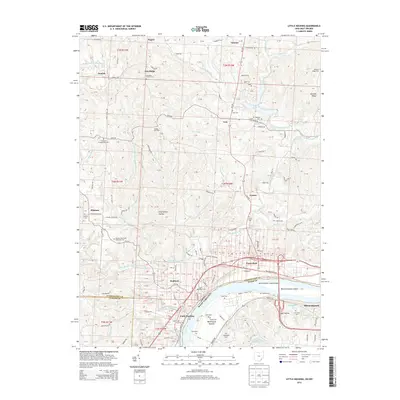
2013 Map of Little Hocking
USGS Topo · Published 2013About this map
The Ohio River serves as the dominant geographic feature of this area, marking the boundary between Washington County, Ohio, and Wood County, West Virginia. Along its banks, the river passes Blennerhassett Island and the community of Washington Bottom. This territory is defined by the winding course of the Little Hocking River and its numerous tributaries, including Plum Run and Long Brook.
Find a feature on this map
128 named features on this map. Tap any name to fly to it.
Don’t see what you’re looking for? This feature index may not catch every label — zoom into the map to look around manually.
Map Details
Editions of this 2013 Little Hocking Map
This is the sole edition of this map. No revisions or reprints were ever made.
Other maps of this area

1902 · Parkersburg
USGS Topo · 1:62,500

1904 · Parkersburg
USGS Topo · 1:62,500

1904 · Chesterhill
USGS Topo · 1:62,500

1906 · Belleville
USGS Topo · 1:62,500

1906 · Chesterhill
USGS Topo · 1:62,500

1907 · Keno
USGS Topo · 1:62,500

1924 · Belleville
USGS Topo · 1:62,500

1926 · Belleville
USGS Topo · 1:62,500

1949 · Clarksburg
USGS Topo · 1:250,000

1956 · Clarksburg
USGS Topo · 1:250,000