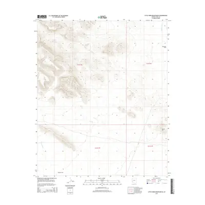
2014 Map of Little Horn Mountains SE
USGS Topo · Published 2014About this map
Clanton Hills rise above the arid expanse of the Sonoran Desert in this detailed 2014 survey. The landscape is defined by its drainage patterns, with ephemeral watercourses such as Deadman Wash in the northeast and Red Raven Wash in the southwest cutting through the alluvial fan surfaces. The area transitions from the rugged relief of the mountains into the broad, flat reaches of the Palomas Plain and the Nottbusch Valley. This topographic record provides a precise view of the terrain as it existed in the early twenty-first century, documenting the township and range boundaries including t1s r13w and t2s r12w across a largely uninhabited and undisturbed desert environment.
Find a feature on this map
9 named features on this map. Tap any name to fly to it.
Don’t see what you’re looking for? This feature index may not catch every label — zoom into the map to look around manually.
Map Details
Editions of this 2014 Little Horn Mountains SE Map
This is the sole edition of this map. No revisions or reprints were ever made.
Other maps of this area

1927 · Hyder
USGS Topo · 1:62,500

1930 · Hyder
USGS Topo · 1:62,500

1942 · Vicksburg
USGS Topo · 1:250,000

1954 · Phoenix
USGS Topo · 1:250,000

1957 · Phoenix
USGS Topo · 1:250,000

1958 · Phoenix
USGS Topo · 1:250,000

1960 · Phoenix
USGS Topo · 1:250,000

1962 · Little Horn Mts
USGS Topo · 1:62,500

1962 · Eagletail Mts
USGS Topo · 1:62,500
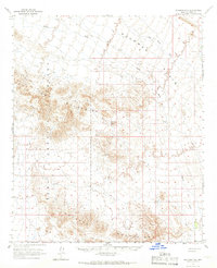
1965 · Palomas Mts
USGS Topo · 1:62,500