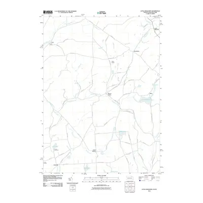
2010 Map of Little Meadows
USGS Topo · Published 2010About this map
Wappasening Creek and its many tributaries, including Prince Hollow Run and Beaver Creek, define the drainage patterns of this rural borderland between Pennsylvania and New York. Small hamlets and crossroads communities like Warren Center, Potterville, and Little Meadows are connected by a network of local roads such as Irish Hill Rd and the Montrose Tpke. The landscape is dotted with small bodies of water, from the significant Lake Of Meadows and Highland Lake to the smaller Cooks Pond and Haig Pond. For genealogists, the map identifies several local burial grounds, including Hughes Cemetery near Cadis, Coburn Dewing Cemetery, and Darling Cemetery. This 2010 survey reflects a largely agricultural and residential character, with names like Nixon and South Warren marking the quiet corners of the Susquehanna Valley region.
Find a feature on this map
75 named features on this map. Tap any name to fly to it.
Don’t see what you’re looking for? This feature index may not catch every label — zoom into the map to look around manually.
Map Details
Editions of this 2010 Little Meadows Map
This is the sole edition of this map. No revisions or reprints were ever made.
Other maps of this area

1901 · Apalachin
USGS Topo · 1:62,500

1903 · Owego
USGS Topo · 1:62,500

1904 · Apalachin
USGS Topo · 1:62,500

1906 · Catatonk
USGS Topo · 1:125,000

1923 · Towanda
USGS Topo · 1:62,500

1926 · Towanda
USGS Topo · 1:62,500

1943 · Towanda
USGS Topo · 1:62,500

1943 · Le Raysville
USGS Topo · 1:62,500

1945 · Le Raysville
USGS Topo · 1:62,500

1950 · Elmira
USGS Topo · 1:250,000