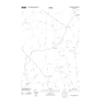
2013 Map of Little Meadows
USGS Topo · Published 2013About this map
Little Meadows and Warren Center anchor this rural landscape straddling the New York and Pennsylvania border in the early 21st century. The terrain is defined by a dense network of winding creeks and small upland bodies of water, including Highland Lake, Cooks Pond, and Lake Of Meadows. This network of waterways, featuring the prominent Wappasening Cr and Apalachin Cr, has historically dictated the settlement patterns of small hamlets like Warrenham, South Warren, and Potterville. The road system, from the Montrose Tpke to family-named routes such as Allyn Run Rd and Hickeys Rock Rd, reflects a long-standing agricultural and timber-based economy. The presence of features like Cemetery Rd and various named runs and ponds offers a precise look at the area's geography before significant modern development, preserving the local nomenclature of Tioga and Susquehanna counties.
Find a feature on this map
93 named features on this map. Tap any name to fly to it.
Don’t see what you’re looking for? This feature index may not catch every label — zoom into the map to look around manually.
Map Details
Editions of this 2013 Little Meadows Map
This is the sole edition of this map. No revisions or reprints were ever made.
Other maps of this area

1901 · Apalachin
USGS Topo · 1:62,500

1903 · Owego
USGS Topo · 1:62,500

1904 · Apalachin
USGS Topo · 1:62,500

1906 · Catatonk
USGS Topo · 1:125,000

1923 · Towanda
USGS Topo · 1:62,500

1926 · Towanda
USGS Topo · 1:62,500

1943 · Towanda
USGS Topo · 1:62,500

1943 · Le Raysville
USGS Topo · 1:62,500

1945 · Le Raysville
USGS Topo · 1:62,500

1950 · Elmira
USGS Topo · 1:250,000