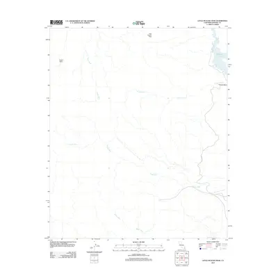
2012 Map of Little Picacho Peak
USGS Topo · Published 2012About this map
Little Picacho Peak anchors the high ground of this arid Imperial County landscape, overlooking a complex system of drainage channels that define the local topography. In the northeast, the waters of Ferguson Lake provide a sharp contrast to the surrounding desert, marked by the sharp turn of Precipice Bend. The area is characterized by a network of seasonal watercourses, including the extensive Ferguson Wash, Marcus Wash, and Senator Wash, which cut through the terrain toward the Colorado River corridor. A sparse human imprint is visible through the presence of Ferguson Rd and the Copper Basin area in the northwest. This 2012 survey captures the relationship between these ephemeral washes, such as Mission Wash, and the permanent water bodies that sustain the region's limited infrastructure and transit routes.
Find a feature on this map
9 named features on this map. Tap any name to fly to it.
Don’t see what you’re looking for? This feature index may not catch every label — zoom into the map to look around manually.
Map Details
Editions of this 2012 Little Picacho Peak Map
This is the sole edition of this map. No revisions or reprints were ever made.
Other maps of this area

1903 · Yuma
USGS Topo · 1:125,000

1905 · Yuma
USGS Topo · 1:125,000

1929 · Laguna
USGS Topo · 1:62,500

1939 · Red Hill
USGS Topo · 1:62,500

1942 · Yuma
USGS Topo · 1:250,000

1942 · Blythe
USGS Topo · 1:250,000

1943 · Laguna
USGS Topo · 1:62,500

1945 · Picacho Peak
USGS Topo · 1:62,500

1945 · Picacho
USGS Topo · 1:62,500

1951 · Picacho
USGS Topo · 1:62,500