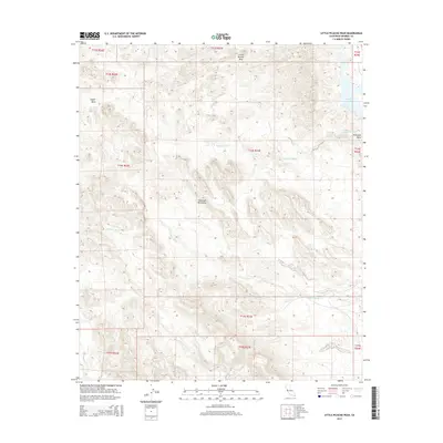
2015 Map of Little Picacho Peak
USGS Topo · Published 2015About this map
Chocolate Mountains dominates this portion of the Colorado Desert, where the arid landscape is defined by an intricate network of dry drainage systems. These ephemeral waterways, including Senator Wash, Ferguson Wash, and Mission Wash, trace the natural runoff patterns from the high ridges down toward the Colorado River valley. The prominence of Little Picacho Peak serves as a primary landmark for the surrounding wilderness, standing near the northern reaches of the quadrangle.
Find a feature on this map
18 named features on this map. Tap any name to fly to it.
Don’t see what you’re looking for? This feature index may not catch every label — zoom into the map to look around manually.
Map Details
Editions of this 2015 Little Picacho Peak Map
This is the sole edition of this map. No revisions or reprints were ever made.
Other maps of this area

1903 · Yuma
USGS Topo · 1:125,000

1905 · Yuma
USGS Topo · 1:125,000

1929 · Laguna
USGS Topo · 1:62,500

1939 · Red Hill
USGS Topo · 1:62,500

1942 · Yuma
USGS Topo · 1:250,000

1942 · Blythe
USGS Topo · 1:250,000

1943 · Laguna
USGS Topo · 1:62,500

1945 · Picacho Peak
USGS Topo · 1:62,500

1945 · Picacho
USGS Topo · 1:62,500

1951 · Picacho
USGS Topo · 1:62,500