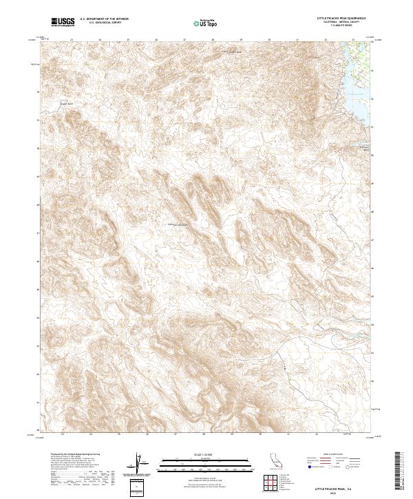
2022 Map of Little Picacho Peak
USGS Topo · Published 2022About this map
Little Picacho Peak and the high ridges of the Chocolate Mountains dominate this arid landscape in Imperial County. The terrain transitions from the jagged elevations of the mountains down into the lower elevations of the Copper Basin, where geological formations create a complex network of dry drainage systems. Along the eastern edge, the topography descends toward the Colorado River basin, marked by the presence of Ferguson Lake and the sharp turn of Precipice Bend.
Find a feature on this map
19 named features on this map. Tap any name to fly to it.
Don’t see what you’re looking for? This feature index may not catch every label — zoom into the map to look around manually.
Map Details
Editions of this 2022 Little Picacho Peak Map
This is the sole edition of this map. No revisions or reprints were ever made.
Other maps of this area

1903 · Yuma
USGS Topo · 1:125,000

1905 · Yuma
USGS Topo · 1:125,000

1929 · Laguna
USGS Topo · 1:62,500

1939 · Red Hill
USGS Topo · 1:62,500

1942 · Yuma
USGS Topo · 1:250,000

1942 · Blythe
USGS Topo · 1:250,000

1943 · Laguna
USGS Topo · 1:62,500

1945 · Picacho Peak
USGS Topo · 1:62,500

1945 · Picacho
USGS Topo · 1:62,500

1951 · Picacho
USGS Topo · 1:62,500