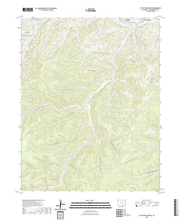
2022 Map of Little Pine Canyon
USGS Topo · Published 2022About this map
Velasquez Plaza and Sarcillo sit along the northern edge of this map, tucked into the Picketwire Valley where the Purgatoire River and its southern fork carve through the high terrain. This area of Las Animas County is defined by an intricate network of drainage systems, including the namesake Little Pine Canyon and the expansive Alamosa Canyon. The landscape reveals a complex topography of deep cuts such as Chimney Canyon, Lorencito Canyon, and Oso Canyon, which feed into the primary river valley.
Find a feature on this map
37 named features on this map. Tap any name to fly to it.
Don’t see what you’re looking for? This feature index may not catch every label — zoom into the map to look around manually.
Map Details
Editions of this 2022 Little Pine Canyon Map
This is the sole edition of this map. No revisions or reprints were ever made.
Other maps of this area

1891 · Spanish Peaks
USGS Topo · 1:125,000

1893 · Spanish Peaks
USGS Topo · 1:125,000

1895 · Spanish Peaks
USGS Topo · 1:125,000

1897 · Spanish Peaks
USGS Topo · 1:125,000

1900 · Spanish Peaks
USGS Topo · 1:125,000

1915 · Brilliant
USGS Topo · 1:62,500

1951 · Valdez
USGS Topo · 1:24,000

1951 · Madrid
USGS Topo · 1:24,000

1954 · Raton
USGS Topo · 1:250,000

1954 · Trinidad
USGS Topo · 1:250,000