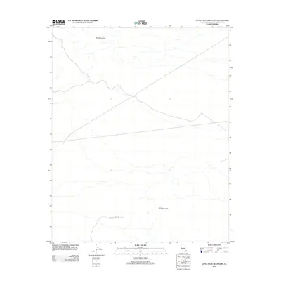
2012 Map of Little Piute Mountains
USGS Topo · Published 2012About this map
Piute Mountains and the Little Piute Mountains define the arid topography of this section of San Bernardino County. The landscape is characterized by its significant elevation changes and the desert drainage patterns that flow from these ranges. A primary modern thoroughfare through this remote terrain is the E Mojave Heritage Trl, which follows a path between the northern and southern mountain blocks. This 2012 survey by the U.S. Geological Survey provides a detailed record of the desert topography and the few established routes that traverse this portion of the Mojave, capturing the area before any further infrastructure development in the early 21st century.
Find a feature on this map
3 named features on this map. Tap any name to fly to it.
Don’t see what you’re looking for? This feature index may not catch every label — zoom into the map to look around manually.
Map Details
Editions of this 2012 Little Piute Mountains Map
This is the sole edition of this map. No revisions or reprints were ever made.
Other maps of this area

1942 · Amboy
USGS Topo · 1:250,000

1943 · Center Hills
USGS Topo · 1:62,500

1943 · Amboy
USGS Topo · 1:250,000

1943 · Essex
USGS Topo · 1:62,500

1943 · Fenner
USGS Topo · 1:62,500

1943 · Bannock
USGS Topo · 1:62,500

1954 · Needles
USGS Topo · 1:250,000

1956 · Needles
USGS Topo · 1:250,000

1956 · Fenner
USGS Topo · 1:62,500

1956 · Essex
USGS Topo · 1:62,500