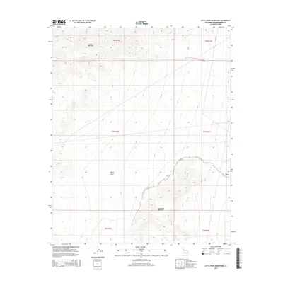
2015 Map of Little Piute Mountains
USGS Topo · Published 2015About this map
The Piute Mountains rise in the northern portion of this quadrangle, giving way to the vast expanse of the Mojave Desert across the central flats. The landscape transitions into the distinctive peaks of the Little Piute Mountains in the south, while the eastern edge is defined by the broad floor of Ward Valley. This 2015 topographic study documents the stark relief and drainage patterns of the high desert, where the mountains descend into wide alluvial fans. The map provides a precise look at the township and range divisions, such as t8n r18e and t7n r19e, which organize this largely uninhabited corner of San Bernardino County. While modern in its production, the map preserves the foundational landmarks and topography essential for understanding the traditional routes through the desert's interior.
Find a feature on this map
10 named features on this map. Tap any name to fly to it.
Don’t see what you’re looking for? This feature index may not catch every label — zoom into the map to look around manually.
Map Details
Editions of this 2015 Little Piute Mountains Map
This is the sole edition of this map. No revisions or reprints were ever made.
Other maps of this area

1942 · Amboy
USGS Topo · 1:250,000

1943 · Center Hills
USGS Topo · 1:62,500

1943 · Amboy
USGS Topo · 1:250,000

1943 · Essex
USGS Topo · 1:62,500

1943 · Fenner
USGS Topo · 1:62,500

1943 · Bannock
USGS Topo · 1:62,500

1954 · Needles
USGS Topo · 1:250,000

1956 · Needles
USGS Topo · 1:250,000

1956 · Fenner
USGS Topo · 1:62,500

1956 · Essex
USGS Topo · 1:62,500