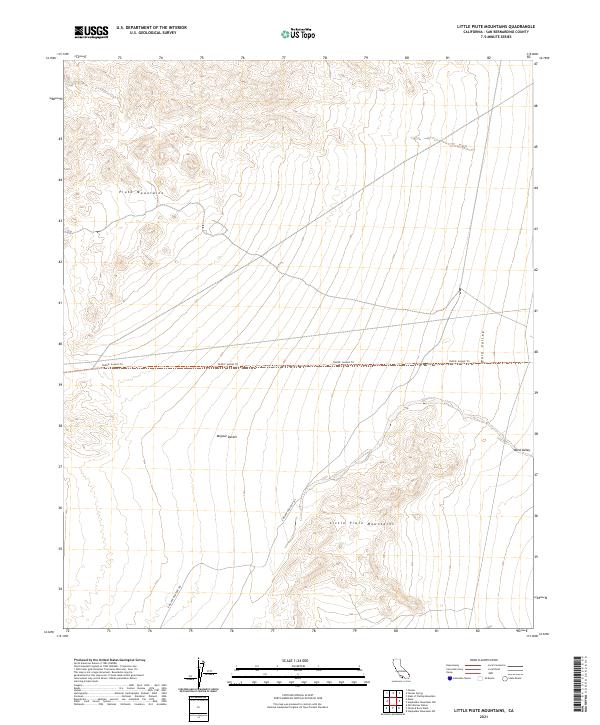
2021 Map of Little Piute Mountains
USGS Topo · Published 2021About this map
The Little Piute Mountains rise from the eastern reaches of the Mojave Desert, defining a landscape where arid basins meet jagged uplands. This modern survey illustrates the rugged corridor between the primary Piute Mountains and the broad expanse of Ward Valley to the east. Historically significant pathways traverse this expanse, including the Ns202: Sunset Trl and the E Mojave Heritage Trl, which follow the natural contours of the desert floor. The map highlights the traditional land divisions of the Public Land Survey System, including t7n r18e and t8n r19e, providing a clear geometric overlay of the township and range system across this unpopulated terrain. The absence of modern settlements emphasizes the preservation of the desert character within this portion of San Bernardino County.
Find a feature on this map
12 named features on this map. Tap any name to fly to it.
Don’t see what you’re looking for? This feature index may not catch every label — zoom into the map to look around manually.
Map Details
Editions of this 2021 Little Piute Mountains Map
This is the sole edition of this map. No revisions or reprints were ever made.
Other maps of this area

1942 · Amboy
USGS Topo · 1:250,000

1943 · Center Hills
USGS Topo · 1:62,500

1943 · Amboy
USGS Topo · 1:250,000

1943 · Essex
USGS Topo · 1:62,500

1943 · Fenner
USGS Topo · 1:62,500

1943 · Bannock
USGS Topo · 1:62,500

1954 · Needles
USGS Topo · 1:250,000

1956 · Needles
USGS Topo · 1:250,000

1956 · Fenner
USGS Topo · 1:62,500

1956 · Essex
USGS Topo · 1:62,500