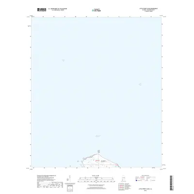
2018 Map of Little Point Clear
USGS Topo · Published 2018About this map
Mobile Bay and Bon Secour Bay dominate this coastal survey, converging at the western reach of the Fort Morgan Peninsula. The map captures the delicate interface between the Alabama shoreline and the Gulf of Mexico waters, centered on the hook of Little Point Clear. Navigation remains the defining characteristic of this landscape, with the Intracoastal Waterway cutting through the open bays to facilitate maritime transit. Local geography is further defined by smaller estuarine features such as Saxon Bay and the drainage of the Three Rivers, providing a detailed look at the wetland and shoreline patterns before the shifting sands of the Gulf Coast alter the coastline further.
Find a feature on this map
8 named features on this map. Tap any name to fly to it.
Don’t see what you’re looking for? This feature index may not catch every label — zoom into the map to look around manually.
Map Details
Editions of this 2018 Little Point Clear Map
This is the sole edition of this map. No revisions or reprints were ever made.
Other maps of this area

1921 · Point Clear
USGS Topo · 1:62,500

1921 · Dauphin Island
USGS Topo · 1:62,500

1921 · Delchamps
USGS Topo · 1:62,500

1941 · Cedar Point
USGS Topo · 1:62,500

1941 · Weeks Bay
USGS Topo · 1:62,500

1942 · Fort Morgan
USGS Topo · 1:62,500

1943 · Cedar Point
USGS Topo · 1:62,500

1943 · Weeks Bay
USGS Topo · 1:62,500

1953 · Mobile
USGS Topo · 1:250,000
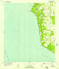
1956 · Point Clear
USGS Topo · 1:24,000