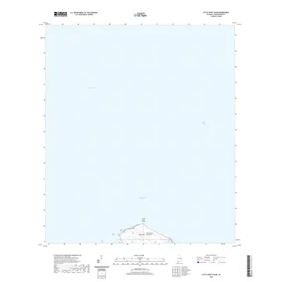
2020 Map of Little Point Clear
USGS Topo · Published 2020About this map
Mobile Bay and Bon Secour Bay meet at the tip of the Fort Morgan Peninsula in this recent survey of Baldwin County's coastal waters. The landscape is defined by the narrow finger of land known as Little Point Clear, which creates a sheltered transition between the open bay and the smaller Saxon Bay. This area is a critical maritime junction where the Intracoastal Waterway cuts through the sounds, providing a protected passage for commercial and recreational vessels avoiding the open Gulf. Along the southern edge of the peninsula, the Three Rivers system indicates the complex hydrology of the marshes and tidal flats that characterize this part of the Alabama shoreline. The map illustrates the contemporary state of these fragile coastal landforms and the established navigable channels that support the local maritime economy.
Find a feature on this map
8 named features on this map. Tap any name to fly to it.
Don’t see what you’re looking for? This feature index may not catch every label — zoom into the map to look around manually.
Map Details
Editions of this 2020 Little Point Clear Map
This is the sole edition of this map. No revisions or reprints were ever made.
Other maps of this area

1921 · Point Clear
USGS Topo · 1:62,500

1921 · Dauphin Island
USGS Topo · 1:62,500

1921 · Delchamps
USGS Topo · 1:62,500

1941 · Cedar Point
USGS Topo · 1:62,500

1941 · Weeks Bay
USGS Topo · 1:62,500

1942 · Fort Morgan
USGS Topo · 1:62,500

1943 · Cedar Point
USGS Topo · 1:62,500

1943 · Weeks Bay
USGS Topo · 1:62,500

1953 · Mobile
USGS Topo · 1:250,000
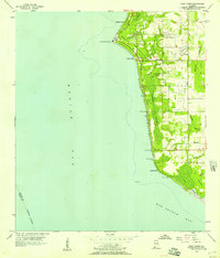
1956 · Point Clear
USGS Topo · 1:24,000