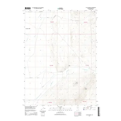
2015 Map of Little Poverty
USGS Topo · Published 2015About this map
Little Humboldt River meanders through this basin in Humboldt County, defining a landscape of traditional Great Basin ranching and thermal activity. The area is anchored by the settlement at Paradise Valley and the smaller locality of Little Poverty, places that reflect the enduring agricultural history of the High Desert. The terrain transitions from the alluvial floor where Adams Slough and Indian Cr collect, toward the high peaks of the Granite Range and the Ararat Hills. Notable geological features include The Hot Springs and the Hot Springs Range, pointing to the geothermal nature of the valley. Local transportation is represented by rural corridors such as Martin Creek Rd and Edam Valley Rd, which provide access to the various canyons and springs along the mountain fringes.
Find a feature on this map
24 named features on this map. Tap any name to fly to it.
Don’t see what you’re looking for? This feature index may not catch every label — zoom into the map to look around manually.
Map Details
Editions of this 2015 Little Poverty Map
This is the sole edition of this map. No revisions or reprints were ever made.
Other maps of this area

1882 · Paradise
USGS Topo · 1:250,000

1893 · Paradise
USGS Topo · 1:250,000

1945 · Hot Springs
USGS Topo · 1:62,500

1947 · Hot Springs Peak
USGS Topo · 1:62,500

1955 · McDermitt
USGS Topo · 1:250,000

1958 · Paradise Valley
USGS Topo · 1:62,500

1959 · McDermitt
USGS Topo · 1:250,000

1959 · Hinkey Summit
USGS Topo · 1:62,500

1980 · Hardscrabble
USGS Topo · 1:24,000

1980 · Spring City
USGS Topo · 1:24,000