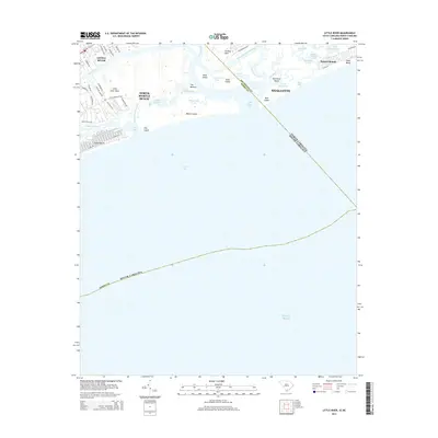
2014 Map of Little River
USGS Topo · Published 2014About this map
Little River and North Myrtle Beach anchor this coastal region where the Intracoastal Waterway cuts through the marshlands of the South Carolina and North Carolina border. The landscape is defined by the complex shifting of tidal inlets and islands, including Waties Island, Bird Island, and Hog Island. This 2014 survey documents the dense residential development surrounding Little River Neck and Futch Beach, contrasted with the protected natural stretches along Long Bay.
Find a feature on this map
60 named features on this map. Tap any name to fly to it.
Don’t see what you’re looking for? This feature index may not catch every label — zoom into the map to look around manually.
Map Details
Editions of this 2014 Little River Map
This is the sole edition of this map. No revisions or reprints were ever made.
Other maps of this area

1943 · Little River
USGS Topo · 1:31,680

1943 · Calabash
USGS Topo · 1:31,680

1943 · Wampee
USGS Topo · 1:24,000

1943 · Shallotte
USGS Topo · 1:24,000

1944 · Longs
USGS Topo · 1:31,680

1944 · Shallotte
USGS Topo · 1:31,680

1949 · Georgetown
USGS Topo · 1:250,000
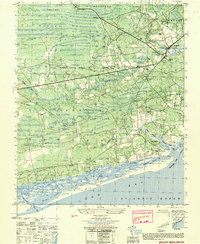
1950 · Shallotte
USGS Topo · 1:25,000
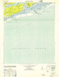
1953 · Little River
USGS Topo · 1:24,000

1953 · Longs
USGS Topo · 1:24,000
Featured Places
- North Myrtle Beach, SC
- Sunset Beach, NC
- Little River, SC
- Futch Beach, North Myrtle Beach
- Horry County, SC