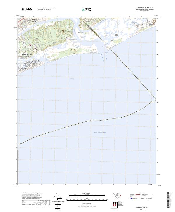
2024 Map of Little River
USGS Topo · Published 2024About this map
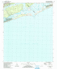
Little River sits at the edge of the North Carolina and South Carolina state line, where the Intracoastal Waterway meets a complex network of coastal islands and tidal creeks. This modern survey illustrates the proximity of Little River and North Myrtle Beach to significant geographic barriers like Waties Island and Bird Island. The landscape is defined by the sharp transition from organized street grids, such as those along Watson Ave and N Ocean Blvd, to the shifting sands and wetlands of Little River Inlet.
Find a feature on this map
63 named features on this map. Tap any name to fly to it.
Don’t see what you’re looking for? This feature index may not catch every label — zoom into the map to look around manually.
Map Details
Editions of this 2024 Little River Map
This is the sole edition of this map. No revisions or reprints were ever made.
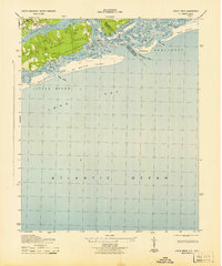
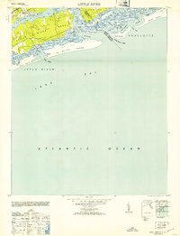
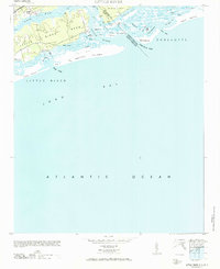
Historical Maps of Futch Beach Through Time
5 maps found
Featured Locations
- Horry County, SC
- Little River, SC
- North Myrtle Beach, SC
- Sunset Beach, NC
- Futch Beach, North Myrtle Beach