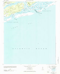
1971 Map of Little River
USGS Topo · Published 1971About this map
Little River serves as the focal point for this coastal survey of the South Carolina and North Carolina borderlands. The landscape is defined by an intricate network of tidal creeks and marshes, where Dunn Sound and Sheephead Cr weave through the low-lying terrain behind Waiter Island. This 1971 reprint of a 1940s-era study captures the coastal geography before modern development intensified, highlighting historic maritime features such as The Battery and the Eden Saltworks Cr.
Find a feature on this map
36 named features on this map. Tap any name to fly to it.
Don’t see what you’re looking for? This feature index may not catch every label — zoom into the map to look around manually.
Map Details
Editions of this 1971 Little River Map
This is the sole edition of this map. No revisions or reprints were ever made.
Other maps of this area

1943 · Little River
USGS Topo · 1:31,680

1943 · Calabash
USGS Topo · 1:31,680

1943 · Wampee
USGS Topo · 1:24,000

1943 · Shallotte
USGS Topo · 1:24,000

1944 · Longs
USGS Topo · 1:31,680

1944 · Shallotte
USGS Topo · 1:31,680

1949 · Georgetown
USGS Topo · 1:250,000
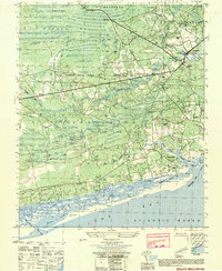
1950 · Shallotte
USGS Topo · 1:25,000
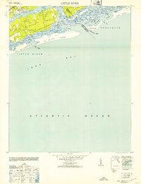
1953 · Little River
USGS Topo · 1:24,000

1953 · Longs
USGS Topo · 1:24,000
Featured Places
- North Myrtle Beach, SC
- Sunset Beach, NC
- Futch Beach, North Myrtle Beach
- Little River, SC
- Horry County, SC