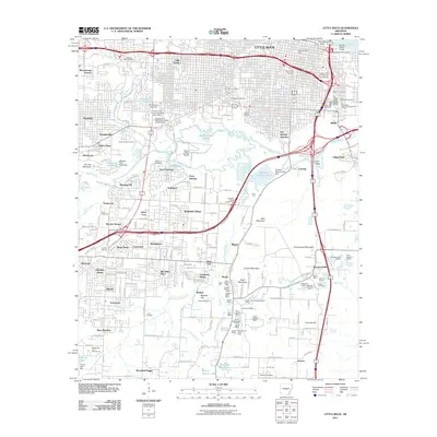
2011 Map of Little Rock
USGS Topo · Published 2011About this map
Little Rock is defined by a landscape of industry and history where the Arkansas River meets a series of prominent peaks, including Allis Mountain and Granite Mountain. This era shows the city deeply integrated with its transportation infrastructure, featuring the complex Hot Springs Junction and the Markham Street Interchange serving a growing network of Interstates. The southern reaches of the map reveal a heavy industrial footprint, specifically within the Berger and Brittain areas where numerous mineral extraction sites are clustered. Notable operations include the England Shaft Mine, Rauch Estate Open Pit Mine, and Dixie Number 3 Mine, indicating the region's geological value.
Find a feature on this map
107 named features on this map. Tap any name to fly to it.
Don’t see what you’re looking for? This feature index may not catch every label — zoom into the map to look around manually.
Map Details
Editions of this 2011 Little Rock Map
This is the sole edition of this map. No revisions or reprints were ever made.
Other maps of this area

1891 · Little Rock
USGS Topo · 1:125,000

1893 · Little Rock
USGS Topo · 1:125,000

1935 · Mc Almont
USGS Topo · 1:24,000

1935 · Little Rock
USGS Topo · 1:24,000

1935 · Sweet Home
USGS Topo · 1:24,000

1935 · North Little Rock
USGS Topo · 1:24,000

1935 · Alexander
USGS Topo · 1:48,000

1940 · Woodson
USGS Topo · 1:31,680

1941 · Alexander
USGS Topo · 1:62,500

1943 · Pinnacle Mtn
USGS Topo · 1:31,680
Featured Places
- Little Rock, AR
- North Little Rock, AR
- Brittain, Little Rock
- Hot Springs Junction, Little Rock
- Fairview, Little Rock