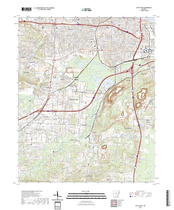
2024 Map of Little Rock
USGS Topo · Published 2024About this map
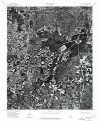
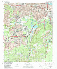
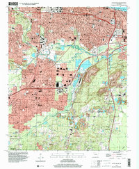
Little Rock Central High School National Historic Site stands as a focal point in this urban landscape, reflecting the city’s deep educational and civil rights history. The city's growth is traced through a dense network of neighborhoods like Oak Forest, Wakefield Village, and Meadowcliff, extending south toward Sweet Home and Ironton. The terrain is defined by the sharp rise of Granite Mountain and Allis Mtn, which overlook the industrial corridors and rail lines meeting at Hot Springs Junction.
Find a feature on this map
85 named features on this map. Tap any name to fly to it.
Don’t see what you’re looking for? This feature index may not catch every label — zoom into the map to look around manually.
Map Details
Editions of this 2024 Little Rock Map
This is the sole edition of this map. No revisions or reprints were ever made.
Historical Maps of Fairview Through Time
14 maps found

1891 Little Rock
Pulaski County, AR

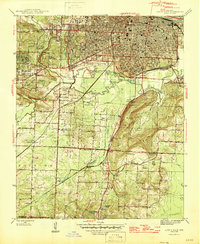
1935 Little Rock
Pulaski County, AR
1944 Little Rock
Pulaski County, AR
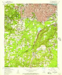
1954 Little Rock
Pulaski County, AR

1955 Little Rock
Pulaski County, AR

1956 Little Rock
Pulaski County, AR

1960 Little Rock
Pulaski County, AR
1961 Little Rock
Pulaski County, AR

1964 Little Rock
Pulaski County, AR
1975 Little Rock
Pulaski County, AR

1985 Little Rock
Pulaski County, AR
1986 Little Rock
Pulaski County, AR
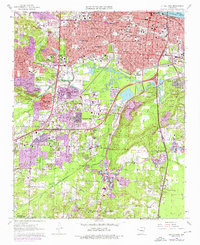
1994 Little Rock
Pulaski County, AR
2024 Little Rock
Pulaski County, AR
Featured Locations
- North Little Rock, AR
- Woodyardville, AR
- Little Rock, AR
- Brittain, Little Rock
- American Manor, Little Rock