
1893 Map of Little Rock
USGS Topo · Published 1893About this map
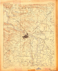
Little Rock and Argenta serve as the central hubs of this 1890s survey, where the Arkansas River dictates the landscape and economy. The region is defined by a heavy concentration of rail infrastructure, including the Little Rock and Fort Smith Railroad and the Memphis and Little Rock Railroad, which connect the capital to outlying settlements like Marche (Warren) and Mayflower. The map captures a transition from the rising industrial centers to the fertile lowlands of the east and the high ridges of the west, such as Shinall Mountain and Big Rock Mt.
Find a feature on this map
150 named features on this map. Tap any name to fly to it.
Don’t see what you’re looking for? This feature index may not catch every label — zoom into the map to look around manually.
Map Details
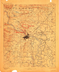
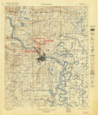
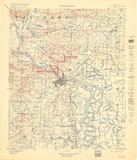
Editions of this 1893 Little Rock Map
5 editions found
Other maps of this area

1890 · Benton
USGS Topo · 1:125,000

1891 · Little Rock
USGS Topo · 1:125,000

1892 · Morrillton
USGS Topo · 1:125,000

1894 · Morrillton
USGS Topo · 1:125,000

1894 · Benton
USGS Topo · 1:125,000

1932 · Pastoria
USGS Topo · 1:62,500

1935 · Mc Almont
USGS Topo · 1:24,000

1935 · Little Rock
USGS Topo · 1:24,000

1935 · Sweet Home
USGS Topo · 1:24,000

1935 · North Little Rock
USGS Topo · 1:24,000