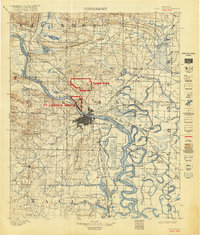
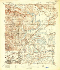
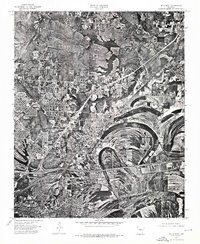
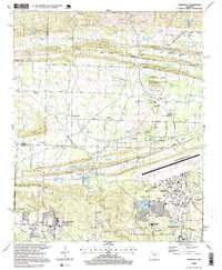
1893 Map of Camp Pike
USGS Topo · Published 1918About this map
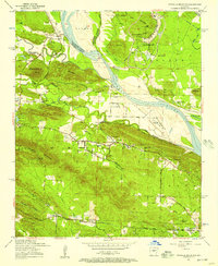
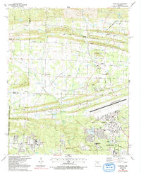
Camp Pike and Ft. Logan H. Roots define the military landscape of central Arkansas during the World War I era, as shown in this special reissue of the 1891 survey. The Arkansas River serves as the primary artery for the region, dividing Little Rock from its neighbor Argenta. A complex web of transportation radiates from the state capital, including the Iron Mountain and Southern Railroad and the Memphis and Little Rock Railroad, which supported the rapid development of the surrounding countryside.
Find a feature on this map
137 named features on this map. Tap any name to fly to it.
Don’t see what you’re looking for? This feature index may not catch every label — zoom into the map to look around manually.
Map Details
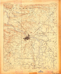
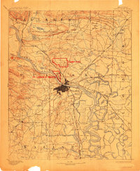
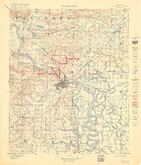
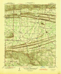
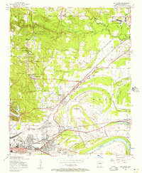
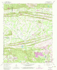
Editions of this 1893 Camp Pike Map
5 editions found

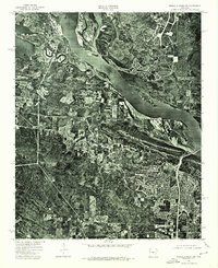
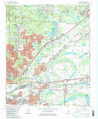
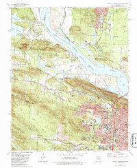
Historical Maps of Little Rock Through Time
34 maps found
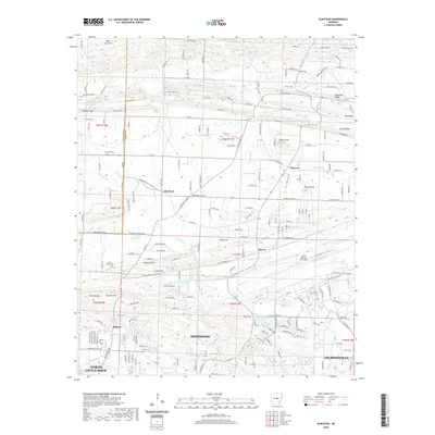
1893 Camp Pike
Pulaski County, AR
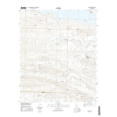
1935 Mc Almont
Pulaski County, AR
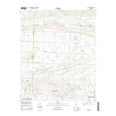
1941 Olmstead
Pulaski County, AR

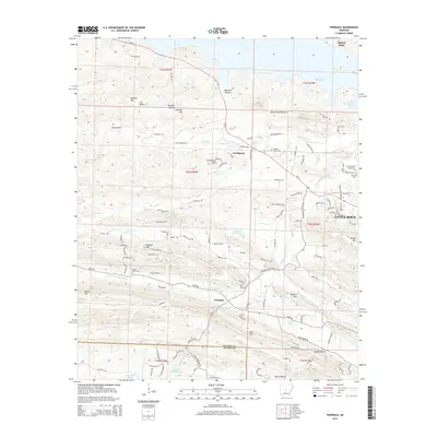
1943 Pinnacle Mtn
Pulaski County, AR
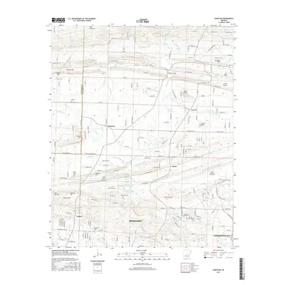
1954 Mc Almont
Pulaski County, AR
1954 Olmstead
Pulaski County, AR
1954 Pinnacle Mountain
Pulaski County, AR
1961 Mc Almont
Pulaski County, AR
1961 Pinnacle Mountain
Pulaski County, AR
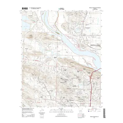
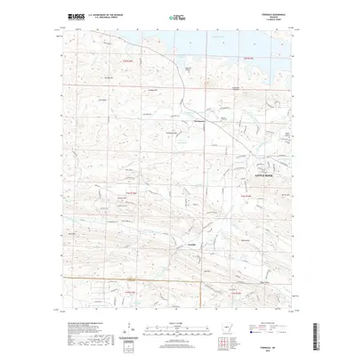
1963 Ferndale
Pulaski County, AR
1975 Mc Almont
Pulaski County, AR
1975 Pinnacle Mountain
Pulaski County, AR
1986 Mc Almont
Pulaski County, AR
1986 Pinnacle Mountain
Pulaski County, AR
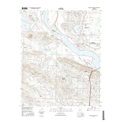
1987 Olmstead
Pulaski County, AR
1994 Ferndale
Pulaski County, AR
1994 Mc Almont
Pulaski County, AR
1994 Pinnacle Mountain
Pulaski County, AR
1996 Olmstead
Pulaski County, AR
2011 Ferndale
Pulaski County, AR
2011 Olmstead
Pulaski County, AR
2011 Pinnacle Mountain
Pulaski County, AR
2014 Ferndale
Pulaski County, AR
2014 Olmstead
Pulaski County, AR
2014 Pinnacle Mountain
Pulaski County, AR
2017 Ferndale
Pulaski County, AR
2017 Olmstead
Pulaski County, AR
2017 Pinnacle Mountain
Pulaski County, AR
2020 Ferndale
Pulaski County, AR
2020 Olmstead
Pulaski County, AR
2020 Pinnacle Mountain
Pulaski County, AR
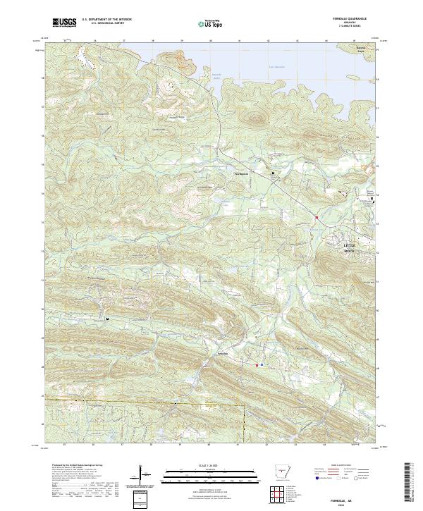
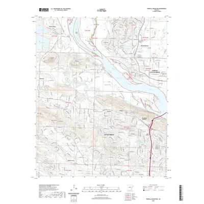
2024 Ferndale
Pulaski County, AR
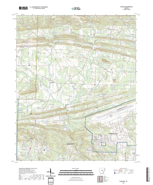
2024 Olmstead
Pulaski County, AR
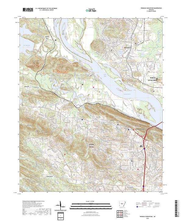
2024 Pinnacle Mountain
Pulaski County, AR