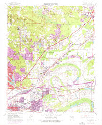
1961 Map of Mc Almont
USGS Topo · Published 1976About this map
Camp Joseph T Robinson dominates the northwestern corner of this Pulaski County landscape, while the urban expansion of North Little Rock and Sherwood presses into the surrounding wetlands and creek basins. The 1961 field survey, updated with 1970s aerial data, reveals a transition from industrial hubs and rail yards to developing suburban pockets. A dense network of three major railroads—the Missouri Pacific, Chicago Rock Island and Pacific, and St Louis Southwestern—converges near Protho Junction and Rose City, illustrating the area's role as a vital transportation corridor. To the south and east, the natural oxbows and meanders of Ink Bayou and Stark Bend define the low-lying terrain near Faulkner Lake. Local landmarks like Drive-in Theater and Dayton Chapel are visible alongside several small neighborhood churches and schools including Berea Chapel and Rose City Jr High School.
Find a feature on this map
70 named features on this map. Tap any name to fly to it.
Don’t see what you’re looking for? This feature index may not catch every label — zoom into the map to look around manually.
Map Details
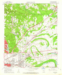
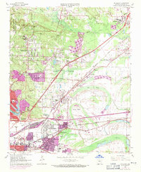
Editions of this 1961 Mc Almont Map
3 editions found
Other maps of this area

1891 · Little Rock
USGS Topo · 1:125,000

1893 · Little Rock
USGS Topo · 1:125,000

1935 · Mc Almont
USGS Topo · 1:24,000

1935 · Little Rock
USGS Topo · 1:24,000

1935 · Sweet Home
USGS Topo · 1:24,000

1935 · North Little Rock
USGS Topo · 1:24,000

1935 · Alexander
USGS Topo · 1:48,000

1941 · Alexander
USGS Topo · 1:62,500

1941 · Olmstead
USGS Topo · 1:31,680

1941 · Cabot
USGS Topo · 1:31,680
Featured Places
- North Little Rock, AR
- Jacksonville, AR
- Sherwood, AR
- Lakewood, North Little Rock
- Millers Crossing, Sherwood