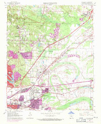
1961 Map of Mc Almont
USGS Topo · Published 1971About this map
North Little Rock and the burgeoning suburbs of Sherwood and Jacksonville anchor this 1961 survey, which was updated in 1970 to show the rapid expansion of residential areas. The landscape is a mix of industrial infrastructure and local community hubs, featuring the Missouri Pacific and Rock Island railroads intersecting at Protho Junction. This era of growth is evidenced by the numerous schools and churches, such as Harris Sch and Smoky Lane Ch, alongside local landmarks like the Dark Hollow Interchange.
Find a feature on this map
72 named features on this map. Tap any name to fly to it.
Don’t see what you’re looking for? This feature index may not catch every label — zoom into the map to look around manually.
Map Details
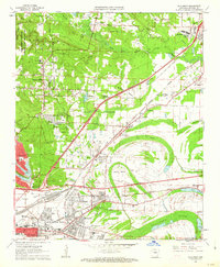
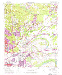
Editions of this 1961 Mc Almont Map
3 editions found
Other maps of this area

1891 · Little Rock
USGS Topo · 1:125,000

1893 · Little Rock
USGS Topo · 1:125,000

1935 · Mc Almont
USGS Topo · 1:24,000

1935 · Little Rock
USGS Topo · 1:24,000

1935 · Sweet Home
USGS Topo · 1:24,000

1935 · North Little Rock
USGS Topo · 1:24,000

1935 · Alexander
USGS Topo · 1:48,000

1941 · Alexander
USGS Topo · 1:62,500

1941 · Olmstead
USGS Topo · 1:31,680

1941 · Cabot
USGS Topo · 1:31,680
Featured Places
- North Little Rock, AR
- Jacksonville, AR
- Sherwood, AR
- Lakewood, North Little Rock
- Millers Crossing, Sherwood