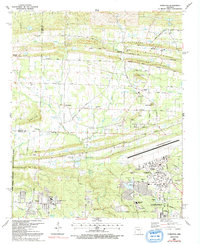
1987 Map of Olmstead
USGS Topo · Published 1992About this map
Little Rock Air Force Base dominates the southeastern portion of this Pulaski County landscape, showing a complex network of runways, housing, and support facilities near Jacksonville. The map captures a mix of military infrastructure and rural Arkansas settlements, where small communities like Olmstead and Gibson sit along historic routes such as Batesville Pike. The terrain is defined by prominent elevations including Backbone Ridge and Erving Ridge, which rise above the winding waters of Meto Bayou and Cypress Branch.
Find a feature on this map
71 named features on this map. Tap any name to fly to it.
Don’t see what you’re looking for? This feature index may not catch every label — zoom into the map to look around manually.
Map Details
Editions of this 1987 Olmstead Map
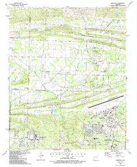
2 editions found
Other maps of this area

1891 · Little Rock
USGS Topo · 1:125,000

1893 · Little Rock
USGS Topo · 1:125,000

1935 · Mc Almont
USGS Topo · 1:24,000

1935 · North Little Rock
USGS Topo · 1:24,000

1941 · Olmstead
USGS Topo · 1:31,680

1941 · Cabot
USGS Topo · 1:31,680

1943 · Jacksonville
USGS Topo · 1:31,680

1953 · Cato
USGS Topo · 1:24,000

1954 · Mc Almont
USGS Topo · 1:24,000

1954 · Olmstead
USGS Topo · 1:24,000