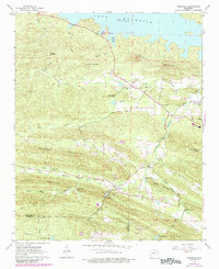
1963 Map of Ferndale
USGS Topo · Published 1984About this map
Ferndale sits at the intersection of rural life and natural topography in this mid-century survey of the foothills west of Little Rock. The landscape is defined by the Lake Maumelle reservoir to the north and the winding course of the Little Maumelle River. Evidence of former infrastructure is found along the southern ridges, where an Old Railroad Grade and several sections of an Aqueduct trace the contours of Brush Mountain and Bullard Mountain.
Find a feature on this map
44 named features on this map. Tap any name to fly to it.
Don’t see what you’re looking for? This feature index may not catch every label — zoom into the map to look around manually.
Map Details
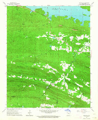
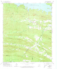
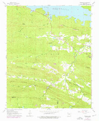
Editions of this 1963 Ferndale Map
4 editions found
Other maps of this area

1890 · Benton
USGS Topo · 1:125,000

1891 · Little Rock
USGS Topo · 1:125,000

1893 · Little Rock
USGS Topo · 1:125,000

1894 · Benton
USGS Topo · 1:125,000

1935 · Alexander
USGS Topo · 1:48,000

1938 · Benton
USGS Topo · 1:48,000

1941 · Alexander
USGS Topo · 1:62,500

1943 · Pinnacle Mtn
USGS Topo · 1:31,680

1944 · Benton
USGS Topo · 1:62,500

1944 · Alexander
USGS Topo · 1:31,680