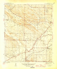
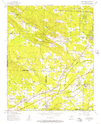
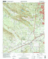
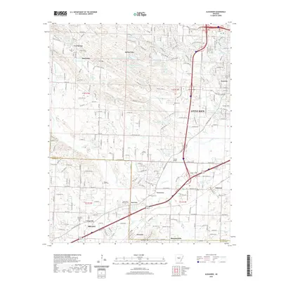
1944 Map of Alexander
USGS Topo · Published 1946About this map
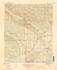
The boundary between Pulaski Co and Saline Co defines a landscape where early institutional facilities and rural settlements met in the mid-1940s. Several specialized sites are concentrated here, including the Womens Penitentiary, State Girls Industrial Home, and the Salasco Sanitarium, indicating a period when state-run medical and correctional facilities were established away from the immediate city center of Little Rock.
Find a feature on this map
48 named features on this map. Tap any name to fly to it.
Don’t see what you’re looking for? This feature index may not catch every label — zoom into the map to look around manually.
Map Details
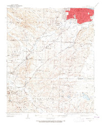
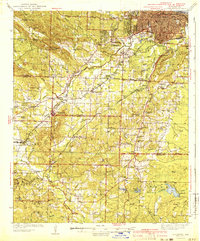
Editions of this 1944 Alexander Map
2 editions found
Historical Maps of Little Rock Through Time
13 maps found
1935 Alexander
Saline County, AR
1941 Alexander
Saline County, AR
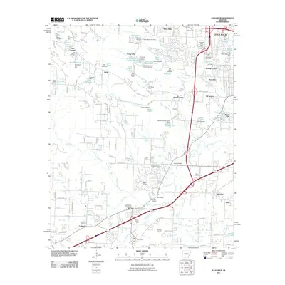
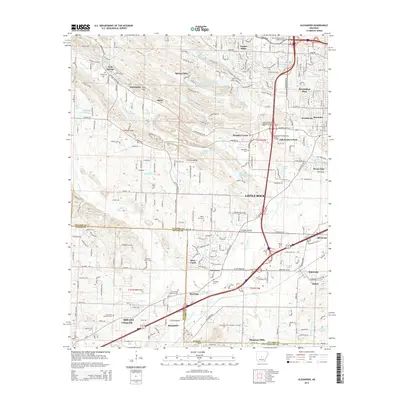
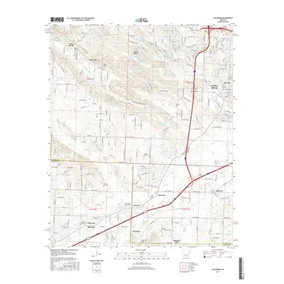
1944 Alexander
Saline County, AR
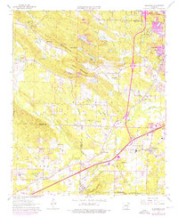
1954 Alexander
Saline County, AR
1961 Alexander
Saline County, AR
1975 Alexander
Saline County, AR
1986 Alexander
Saline County, AR
1994 Alexander
Saline County, AR
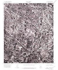
2011 Alexander
Saline County, AR
2014 Alexander
Saline County, AR
2017 Alexander
Saline County, AR
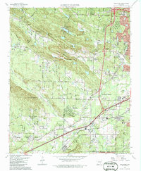
2020 Alexander
Saline County, AR
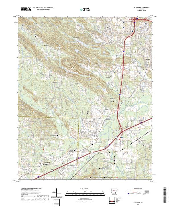
2024 Alexander
Saline County, AR