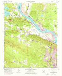
1961 Map of Pinnacle Mountain
USGS Topo · Published 1976About this map
Pinnacle Mountain rises sharply above the Little Maumelle River, anchoring a landscape where the river-and-rail corridor of the Chicago Rock Island and Pacific railroad meets the expanding western reaches of Little Rock. The map illustrates a transitional period in Pulaski County, with rural settlements like Natural Steps and Pankey still distinct from the emerging residential developments at Woodland Heights and the Pleasant Valley Country Club.
Find a feature on this map
55 named features on this map. Tap any name to fly to it.
Don’t see what you’re looking for? This feature index may not catch every label — zoom into the map to look around manually.
Map Details
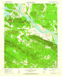
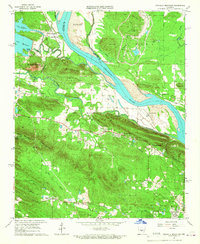
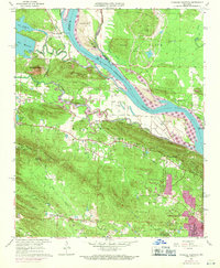
Editions of this 1961 Pinnacle Mountain Map
4 editions found
Other maps of this area

1890 · Benton
USGS Topo · 1:125,000

1891 · Little Rock
USGS Topo · 1:125,000

1893 · Little Rock
USGS Topo · 1:125,000

1894 · Benton
USGS Topo · 1:125,000

1935 · Little Rock
USGS Topo · 1:24,000

1935 · North Little Rock
USGS Topo · 1:24,000

1935 · Alexander
USGS Topo · 1:48,000

1938 · Benton
USGS Topo · 1:48,000

1941 · Alexander
USGS Topo · 1:62,500

1943 · Pinnacle Mtn
USGS Topo · 1:31,680