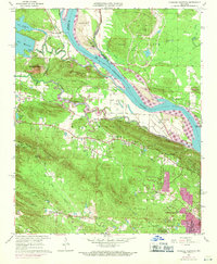
1961 Map of Pinnacle Mountain
USGS Topo · Published 1971About this map
Pinnacle Mountain towers over the confluence of the Little Maumelle River and the Arkansas River, anchoring a landscape of prominent peaks and river valleys. The topography is defined by the Maumelle Mountains and Big Rock, while the northern reaches include the waters of Lake Maumelle and its associated Pumping Station. Cultural footprints are scattered throughout the hills, from the settlement of Natural Steps to numerous burial grounds like Hutchinson Cem and Old Soldiers Cem. The Chicago Rock Island and Pacific railroad traces the southern bank of the Arkansas, connecting rural outposts like Maumelle and Ivesville with the growing western fringes of Little Rock. Later 1970 revisions, shown in purple, illustrate the suburban expansion near Woodland Heights and the development of the Pleasant Valley Country Club.
Find a feature on this map
54 named features on this map. Tap any name to fly to it.
Don’t see what you’re looking for? This feature index may not catch every label — zoom into the map to look around manually.
Map Details
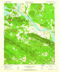
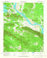
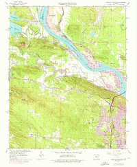
Editions of this 1961 Pinnacle Mountain Map
4 editions found
Other maps of this area

1890 · Benton
USGS Topo · 1:125,000

1891 · Little Rock
USGS Topo · 1:125,000

1893 · Little Rock
USGS Topo · 1:125,000

1894 · Benton
USGS Topo · 1:125,000

1935 · Little Rock
USGS Topo · 1:24,000

1935 · North Little Rock
USGS Topo · 1:24,000

1935 · Alexander
USGS Topo · 1:48,000

1938 · Benton
USGS Topo · 1:48,000

1941 · Alexander
USGS Topo · 1:62,500

1943 · Pinnacle Mtn
USGS Topo · 1:31,680