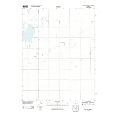
2009 Map of Little Salt Marsh
USGS Topo · Published 2009About this map
Little Salt Marsh dominates the northwestern corner of this Kansas landscape, where the waters of Rattlesnake Creek feed into a complex system of wetlands and shorelines. This early 21st-century survey of Reno County reveals a rural environment structured by a precise grid of local thoroughfares, including Netherland Rd and Illinois Ave. The presence of small, family-associated landmarks like the Hornbaker Airport suggests the continued importance of private aviation and land ownership in the central plains.
Find a feature on this map
20 named features on this map. Tap any name to fly to it.
Don’t see what you’re looking for? This feature index may not catch every label — zoom into the map to look around manually.
Map Details
Editions of this 2009 Little Salt Marsh Map
This is the sole edition of this map. No revisions or reprints were ever made.
Other maps of this area

1891 · Great Bend
USGS Topo · 1:125,000

1892 · Kingman
USGS Topo · 1:125,000

1892 · Pratt
USGS Topo · 1:125,000

1893 · Great Bend
USGS Topo · 1:125,000

1894 · Kingman
USGS Topo · 1:125,000

1894 · Pratt
USGS Topo · 1:125,000

1894 · Lyons
USGS Topo · 1:125,000

1955 · Great Bend
USGS Topo · 1:250,000

1955 · Pratt
USGS Topo · 1:250,000

1957 · Great Bend
USGS Topo · 1:250,000