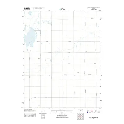
2012 Map of Little Salt Marsh
USGS Topo · Published 2012About this map
Little Salt Marsh and Horseshoe Lake dominate the northwestern corner of this Kansas landscape, fed by the winding course of Rattlesnake Cr. The terrain is defined by a rigid section-line road grid that overlays the natural hydrology of the area, including the meandering path of Peace Cr which cuts across the central and eastern portions of the map. This 2012 survey illustrates a sparsely populated rural landscape where land use is oriented toward the water features of the marsh and agricultural divisions. For genealogists and local historians, several small burial grounds are preserved within the grid, including Peace Creek Cem, the Hinshaw Family Cem, and Hayes Cem, offering clues to the family histories and early settlements of this part of Reno County.
Find a feature on this map
37 named features on this map. Tap any name to fly to it.
Don’t see what you’re looking for? This feature index may not catch every label — zoom into the map to look around manually.
Map Details
Editions of this 2012 Little Salt Marsh Map
This is the sole edition of this map. No revisions or reprints were ever made.
Other maps of this area

1891 · Great Bend
USGS Topo · 1:125,000

1892 · Kingman
USGS Topo · 1:125,000

1892 · Pratt
USGS Topo · 1:125,000

1893 · Great Bend
USGS Topo · 1:125,000

1894 · Kingman
USGS Topo · 1:125,000

1894 · Pratt
USGS Topo · 1:125,000

1894 · Lyons
USGS Topo · 1:125,000

1955 · Great Bend
USGS Topo · 1:250,000

1955 · Pratt
USGS Topo · 1:250,000

1957 · Great Bend
USGS Topo · 1:250,000