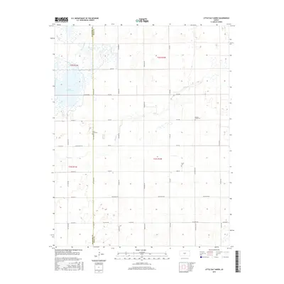
2015 Map of Little Salt Marsh
USGS Topo · Published 2015About this map
Little Salt Marsh dominates the western landscape of this Reno County study, a significant hydrological feature in a region defined by its subtle drainage patterns. The marsh is fed and drained by a network of waterways including Rattlesnake Cr and the West Canal, while Horseshoe Lake sits just to the north near the Stafford County line. This area of central Kansas maintains a strictly gridded agricultural character, with long section-line roads like Salt Marsh Rd and Raymond Rd providing the primary framework for movement.
Find a feature on this map
36 named features on this map. Tap any name to fly to it.
Don’t see what you’re looking for? This feature index may not catch every label — zoom into the map to look around manually.
Map Details
Editions of this 2015 Little Salt Marsh Map
This is the sole edition of this map. No revisions or reprints were ever made.
Other maps of this area

1891 · Great Bend
USGS Topo · 1:125,000

1892 · Kingman
USGS Topo · 1:125,000

1892 · Pratt
USGS Topo · 1:125,000

1893 · Great Bend
USGS Topo · 1:125,000

1894 · Kingman
USGS Topo · 1:125,000

1894 · Pratt
USGS Topo · 1:125,000

1894 · Lyons
USGS Topo · 1:125,000

1955 · Great Bend
USGS Topo · 1:250,000

1955 · Pratt
USGS Topo · 1:250,000

1957 · Great Bend
USGS Topo · 1:250,000