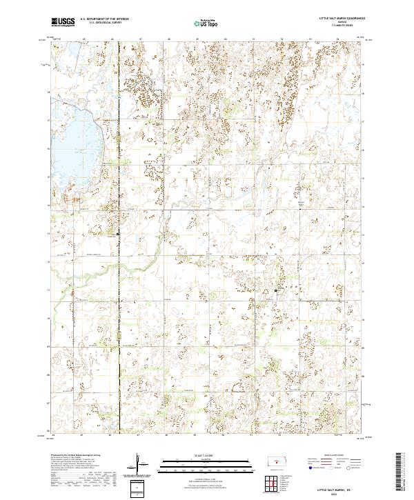
2022 Map of Little Salt Marsh
USGS Topo · Published 2022About this map
Little Salt Marsh and the surrounding wetland complex dominate this landscape at the intersection of Reno County and Stafford County. The terrain is defined by low-lying basins and ephemeral water bodies, including Horseshoe Lake and the meandering path of Rattlesnake Cr. This environment reflects the unique hydrology of the Great Bend Prairie, where groundwater and surface water interact to create saline and freshwater habitats.
Find a feature on this map
35 named features on this map. Tap any name to fly to it.
Don’t see what you’re looking for? This feature index may not catch every label — zoom into the map to look around manually.
Map Details
Editions of this 2022 Little Salt Marsh Map
This is the sole edition of this map. No revisions or reprints were ever made.
Other maps of this area

1891 · Great Bend
USGS Topo · 1:125,000

1892 · Kingman
USGS Topo · 1:125,000

1892 · Pratt
USGS Topo · 1:125,000

1893 · Great Bend
USGS Topo · 1:125,000

1894 · Kingman
USGS Topo · 1:125,000

1894 · Pratt
USGS Topo · 1:125,000

1894 · Lyons
USGS Topo · 1:125,000

1955 · Great Bend
USGS Topo · 1:250,000

1955 · Pratt
USGS Topo · 1:250,000

1957 · Great Bend
USGS Topo · 1:250,000