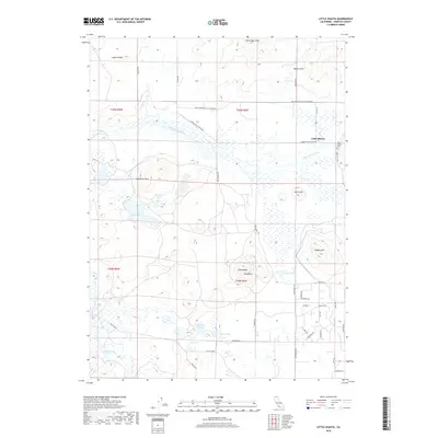
2018 Map of Little Shasta
USGS Topo · Published 2018About this map
The Little Shasta River meanders through the heart of this Siskiyou County landscape, defining the character of the Little Shasta settlement and its surrounding agricultural valley. This northern California terrain is punctuated by significant volcanic-influenced landmarks such as Steamboat Mtn and Terwilliger Peak, while the northeast corner is home to the Little Shasta Cem, a site of significant genealogical interest for the region. The map reveals a transition from the lower valley floor, where the Shasta River flows in the southwest, to the higher elevation basins containing Steamboat Lake, Trout Lake, and Bass Lake. A grid of modern residential streets with gemstone-themed names like Zircon Ave and Quartz Ave appears in the southeast, contrasting with the established ranching roads such as Ball Mountain Little Shasta Rd that follow older transport patterns.
Find a feature on this map
48 named features on this map. Tap any name to fly to it.
Don’t see what you’re looking for? This feature index may not catch every label — zoom into the map to look around manually.
Map Details
Editions of this 2018 Little Shasta Map
This is the sole edition of this map. No revisions or reprints were ever made.
Other maps of this area

1886 · Shasta
USGS Topo · 1:250,000

1894 · Shasta
USGS Topo · 1:250,000

1921 · Shasta Valley Sheet No 11
USGS Topo · 1:24,000

1921 · Shasta Valley Sheet No 6
USGS Topo · 1:24,000

1921 · Shasta Valley Sheet No 2
USGS Topo · 1:24,000

1922 · Shasta Valley Sheet No 12
USGS Topo · 1:24,000

1922 · Shasta Valley Sheet No 4
USGS Topo · 1:24,000

1922 · Shasta Valley Sheet No 5
USGS Topo · 1:24,000

1932 · Yreka
USGS Topo · 1:96,000

1934 · Macdoel
USGS Topo · 1:96,000