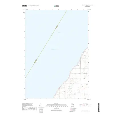
2018 Map of Little Sturgeon SW
USGS Topo · Published 2018About this map
Green Bay and the surrounding coastal landscape of Door County define this 2018 survey, where the waters of Lake Michigan meet a shoreline etched with local history. The land rises toward the northeast, accessed by Gardner Bluff Rd, while the southern interior is drained by Sugar Cr. This area is characterized by a mix of wooded wetlands and established rural roads that suggest long-standing agricultural and residential patterns. One significant point of interest for genealogists and local historians is the White Star Cem, located near the intersection of White Star Rd and Co Rd K. This site, along with family-named thoroughfares like Brussels Rd and Lovers Ln, provides a clear view of the community's layout and connectivity along the Wisconsin coast.
Find a feature on this map
21 named features on this map. Tap any name to fly to it.
Don’t see what you’re looking for? This feature index may not catch every label — zoom into the map to look around manually.
Map Details
Editions of this 2018 Little Sturgeon SW Map
This is the sole edition of this map. No revisions or reprints were ever made.
Other maps of this area

1952 · Casco
USGS Topo · 1:62,500

1954 · New Franken
USGS Topo · 1:62,500

1954 · Manitowoc
USGS Topo · 1:250,000

1956 · Oconto
USGS Topo · 1:62,500

1958 · Manitowoc
USGS Topo · 1:250,000

1961 · Little Sturgeon
USGS Topo · 1:62,500
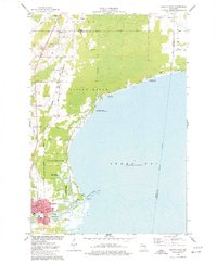
1974 · Oconto East
USGS Topo · 1:24,000
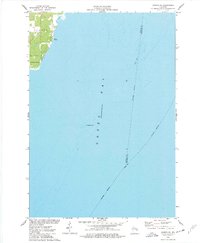
1974 · Oconto SE
USGS Topo · 1:24,000
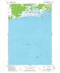
1974 · Peshtigo Harbor
USGS Topo · 1:24,000

1978 · Namur
USGS Topo · 1:24,000