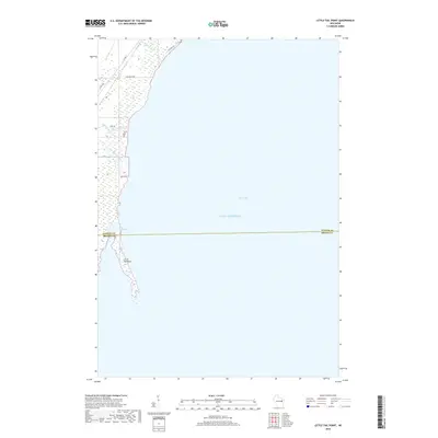
2018 Map of Little Tail Point
USGS Topo · Published 2018About this map
Little Tail Point extends into the western waters of Green Bay on this 2018 survey, marking a distinct coastal geography where the marshy lowlands meet Lake Michigan. The landscape is dominated by the Little Tail Swamp, a transition zone between the shoreline and the agricultural and residential outskirts of Suamico. Local drainage is defined by several watercourses including the Little Suamico River, Tibbet Creek, and Kirchner Cr, which weave through a grid of rural roads.
Find a feature on this map
13 named features on this map. Tap any name to fly to it.
Don’t see what you’re looking for? This feature index may not catch every label — zoom into the map to look around manually.
Map Details
Editions of this 2018 Little Tail Point Map
This is the sole edition of this map. No revisions or reprints were ever made.
Other maps of this area

1954 · Green Bay West
USGS Topo · 1:24,000

1954 · New Franken
USGS Topo · 1:62,500

1954 · Green Bay East
USGS Topo · 1:24,000

1954 · Manitowoc
USGS Topo · 1:250,000

1954 · Green Bay
USGS Topo · 1:62,500

1955 · Green Bay
USGS Topo · 1:250,000

1956 · Oconto
USGS Topo · 1:62,500

1956 · Oconto Falls
USGS Topo · 1:62,500

1958 · Manitowoc
USGS Topo · 1:250,000

1974 · Abrams
USGS Topo · 1:24,000