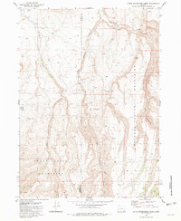
1981 Map of Little Whitehorse Creek
USGS Topo · Published 1981About this map
The Trout Creek Mountains and the deep incisions of the Oregon Canyons dominate this high-desert landscape on the border of Harney and Malheur counties. Surveyed in the mid-1970s, the map reveals a remote ranching environment where water is the primary organizing force. Significant drainages like Whitehorse Creek and Little Whitehorse Creek carve through the upland plateaus, supported by critical water sources such as Alkali Spring and Smith Spring. Evidence of human activity is sparse but telling, marked by the presence of a Corral, the isolated Pole Patch, and unnamed Ruins in the northern reaches. The drainage pattern of Fifteenmile Creek and Willow Creek further illustrates the complex watershed of this arid region, providing a detailed record of the geography before any modern modifications to the land's traditional use for open-range grazing.
Find a feature on this map
15 named features on this map. Tap any name to fly to it.
Don’t see what you’re looking for? This feature index may not catch every label — zoom into the map to look around manually.
Map Details
Editions of this 1981 Little Whitehorse Creek Map
This is the sole edition of this map. No revisions or reprints were ever made.
Other maps of this area

1955 · Adel
USGS Topo · 1:250,000

1957 · Adel
USGS Topo · 1:250,000

1958 · Adel
USGS Topo · 1:250,000

1962 · Adel
USGS Topo · 1:250,000
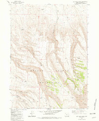
1981 · Dry Creek Bench
USGS Topo · 1:24,000
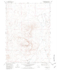
1981 · Red Mountain
USGS Topo · 1:24,000
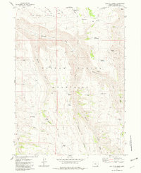
1981 · Doolittle Creek
USGS Topo · 1:24,000
1981 · Chicken Spring
USGS Topo · 1:24,000
1982 · Whitehorse Ranch
USGS Topo · 1:24,000
1982 · Payne Creek
USGS Topo · 1:24,000