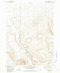
1982 Map of Whitehorse Ranch
USGS Topo · Published 1982About this map
Whitehorse Ranch serves as the focal point for this high-desert landscape along the border of Harney and Malheur Counties. This mid-1970s field survey documents a region defined by its ranching heritage and military history, specifically at the Camp C F Smith (Site) near Graves and a Borrow Pit. The terrain is dominated by the Oregon Canyon Mountains and the prominent Whitehorse Butte to the south, while water management is evidenced by Bog Hole Reservoir and Steens View Reservoir. The map illustrates a remote social infrastructure through the Trout Creek Sch and various 4WD tracks that follow the drainage of Whitehorse Creek and Antelope Creek. This specific topographic record captures the utilitarian nature of the Great Basin, where springs like Mud Spring and Boney Spring were essential for sustaining the cattle operations that shaped the local economy.
Find a feature on this map
21 named features on this map. Tap any name to fly to it.
Don’t see what you’re looking for? This feature index may not catch every label — zoom into the map to look around manually.
Map Details
Editions of this 1982 Whitehorse Ranch Map
This is the sole edition of this map. No revisions or reprints were ever made.
Other maps of this area

1955 · Adel
USGS Topo · 1:250,000

1957 · Adel
USGS Topo · 1:250,000

1958 · Adel
USGS Topo · 1:250,000

1962 · Adel
USGS Topo · 1:250,000
1981 · Twelvemile Ridge
USGS Topo · 1:24,000

1981 · Tule Springs NE
USGS Topo · 1:24,000
1981 · Little Whitehorse Creek
USGS Topo · 1:24,000
1981 · Dry Creek Bench
USGS Topo · 1:24,000
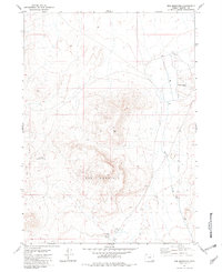
1981 · Red Mountain
USGS Topo · 1:24,000
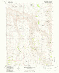
1981 · Doolittle Creek
USGS Topo · 1:24,000