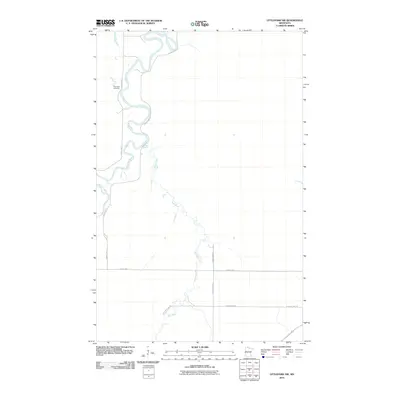
2010 Map of Littlefork NW
USGS Topo · Published 2010About this map
The Big Fork River meanders across this northern Minnesota landscape, forming tight oxbows and loops as it flows toward the Canadian border. This part of Koochiching County is defined by its watercourses, notably the confluence area where the Bear River joins the larger drainage system. The human presence is sparse, marked primarily by a grid of rural roads like County Hwy-1 and County Hwy-10 that cut through the low-lying terrain. One of the few designated landmarks of genealogical interest is the Riverside Cemetery, situated on a bend of the river. The map provides a detailed view of the natural hydrology and basic infrastructure of this remote timber and wetland region as it appeared in the early 21st century.
Find a feature on this map
9 named features on this map. Tap any name to fly to it.
Don’t see what you’re looking for? This feature index may not catch every label — zoom into the map to look around manually.
Map Details
Editions of this 2010 Littlefork NW Map
This is the sole edition of this map. No revisions or reprints were ever made.
Other maps of this area

1919 · Pelland
USGS Topo · 1:62,500

1919 · Happy Land
USGS Topo · 1:62,500

1943 · Lindford
USGS Topo · 1:62,500

1954 · International Falls
USGS Topo · 1:250,000

1957 · International Falls
USGS Topo · 1:250,000

1958 · International Falls
USGS Topo · 1:250,000

1970 · Devlin
USGS Topo · 1:24,000

1970 · Littlefork SE
USGS Topo · 1:24,000
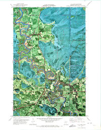
1970 · Littlefork
USGS Topo · 1:24,000

1970 · Littlefork SW
USGS Topo · 1:24,000