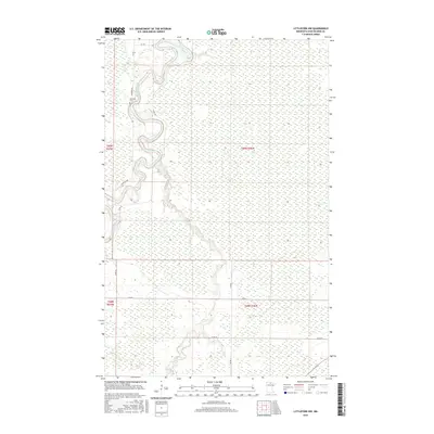
2016 Map of Littlefork NW
USGS Topo · Published 2016About this map
Big Fork River carves a winding path through this northern Minnesota landscape, creating a series of dramatic oxbows and recursive bends in the northwestern corner. The terrain is characterized by extensive wetlands and low-lying ground typical of Koochiching County, where drainage patterns are defined by the river and its southern tributary, the Bear River. Human presence is concentrated primarily along the higher ground following the riverbanks, where roads like Lindford Rd and Co Rd 10 provide access to the riparian corridor. The presence of Riverside Cem near the river’s edge provides a significant point of interest for genealogists and local historians tracking early settlement in this timber-rich region. A network of rural routes, including Co Rd 1 and Co Rd 81, establishes the primary grid for this otherwise largely undeveloped wilderness.
Find a feature on this map
13 named features on this map. Tap any name to fly to it.
Don’t see what you’re looking for? This feature index may not catch every label — zoom into the map to look around manually.
Map Details
Editions of this 2016 Littlefork NW Map
This is the sole edition of this map. No revisions or reprints were ever made.
Other maps of this area

1919 · Pelland
USGS Topo · 1:62,500

1919 · Happy Land
USGS Topo · 1:62,500

1943 · Lindford
USGS Topo · 1:62,500

1954 · International Falls
USGS Topo · 1:250,000

1957 · International Falls
USGS Topo · 1:250,000

1958 · International Falls
USGS Topo · 1:250,000

1970 · Devlin
USGS Topo · 1:24,000

1970 · Littlefork SE
USGS Topo · 1:24,000
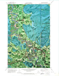
1970 · Littlefork
USGS Topo · 1:24,000

1970 · Littlefork SW
USGS Topo · 1:24,000