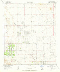
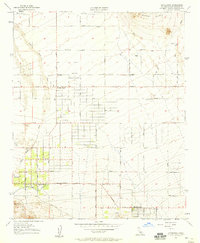
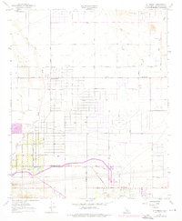
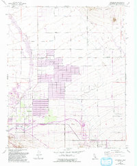
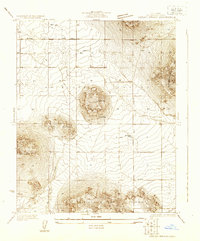
1957 Map of Littlerock
USGS Topo · Published 1963About this map
Littlerock and Pearblossom serve as focal points for this high-desert community during the mid-1950s, where an expanding grid of residential and agricultural plots meets the alluvial fan of the San Gabriel foothills. The landscape is defined by the significant drainage patterns of Little Rock Wash and Big Rock Creek, which dominate the eastern and western edges of the quadrangle. A network of systematic dirt and light-duty roads, such as Avenue P and Avenue U, reveals the early phases of rural subdivision and desert development.
Find a feature on this map
23 named features on this map. Tap any name to fly to it.
Don’t see what you’re looking for? This feature index may not catch every label — zoom into the map to look around manually.
Map Details
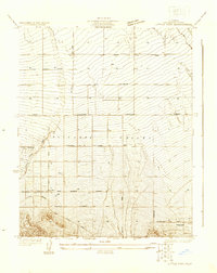
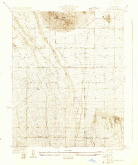
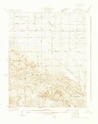
Editions of this 1957 Littlerock Map
4 editions found
Other maps of this area

1900 · Tujunga
USGS Topo · 1:62,500

1901 · Southern California Sheet No. 1
USGS Topo · 1:250,000

1903 · Rock Creek
USGS Topo · 1:62,500

1904 · Southern California Sheet No. 1
USGS Topo · 1:250,000

1915 · Elizabeth Lake
USGS Topo · 1:125,000

1917 · Elizabeth Lake
USGS Topo · 1:125,000
1930 · Lovejoy Springs
USGS Topo · 1:24,000
1930 · Little Rock
USGS Topo · 1:24,000
1930 · Llano
USGS Topo · 1:24,000
1930 · Pearland
USGS Topo · 1:24,000