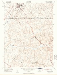
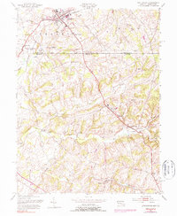
1953 Map of Littlestown
USGS Topo · Published 1954About this map
The Mason and Dixon Line serves as the literal and symbolic center of this mid-century survey, dividing the landscape between Adams County, Pennsylvania, and Carroll County, Maryland. At the northern edge, Littlestown anchors the region with its cluster of civic landmarks, including St Johns Ch and Saint Aloysius Cem, while the Pennsylvania railroad line tracks southeast through Slate Ridge. This transition from Pennsylvania's rolling uplands into Maryland's river valleys is defined by a dense concentration of early hydraulic industry.
Find a feature on this map
41 named features on this map. Tap any name to fly to it.
Don’t see what you’re looking for? This feature index may not catch every label — zoom into the map to look around manually.
Map Details
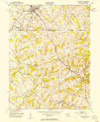
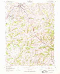
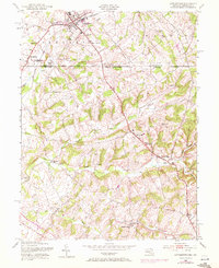
Editions of this 1953 Littlestown Map
6 editions found
Other maps of this area

1905 · Westminster
USGS Topo · 1:62,500

1908 · Gettysburg
USGS Topo · 1:62,500

1911 · Taneytown
USGS Topo · 1:62,500

1920 · Hanover
USGS Topo · 1:62,500

1922 · Hanover
USGS Topo · 1:62,500

1942 · Gettysburg
USGS Topo · 1:125,000

1944 · Manchester
USGS Topo · 1:31,680

1944 · Union Bridge
USGS Topo · 1:31,680

1944 · Gettysburg
USGS Topo · 1:31,680

1944 · New Windsor
USGS Topo · 1:31,680