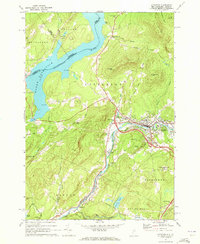
1971 Map of Littleton
USGS Topo · Published 1973About this map
The Ammonoosuc River and the Boston and Maine railroad corridor define the industrial and residential heart of this New Hampshire landscape. In Littleton, the concentration of the Armory, hospital, and multiple schools like Lakewood School reflects a regional hub of activity. The surrounding hills, including Walker Mountain and Eustis Hill, are marked by legacy land divisions and family-named roads such as Whipple Hill Road and Farr Hill Road.
Find a feature on this map
75 named features on this map. Tap any name to fly to it.
Don’t see what you’re looking for? This feature index may not catch every label — zoom into the map to look around manually.
Map Details
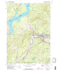
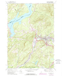
Editions of this 1971 Littleton Map
3 editions found
Other maps of this area

1900 · Whitefield
USGS Topo · 1:62,500

1929 · Moosilauke
USGS Topo · 1:62,500

1929 · Franconia
USGS Topo · 1:62,500

1931 · Littleton
USGS Topo · 1:62,500

1932 · Franconia
USGS Topo · 1:62,500

1932 · Littleton
USGS Topo · 1:48,000

1932 · Moosilauke
USGS Topo · 1:62,500

1935 · Littleton
USGS Topo · 1:62,500

1935 · Whitefield
USGS Topo · 1:48,000

1938 · Whitefield
USGS Topo · 1:62,500